
Step Ashore with Confidence
Plan Your Walk Before the Gangway
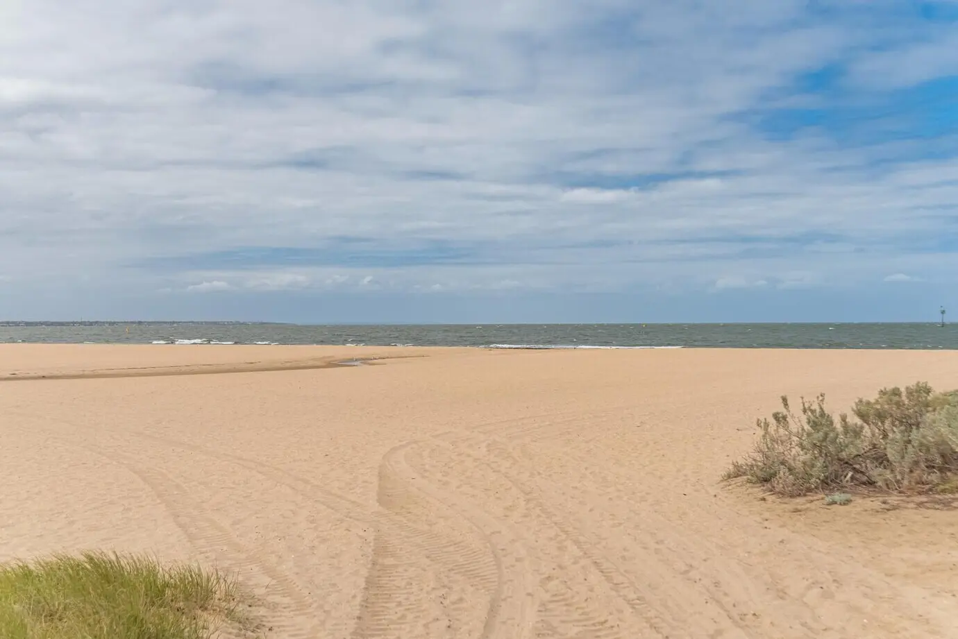
Decode the Port Map
Port maps reveal more than roads; they hint at choke points, secure zones, and the location of official taxis or shuttles. Learn where pedestrian exits meet public streets, and mark the pier gate from multiple angles. Cross-reference a satellite view to identify shade, plazas, waterfront promenades, and obvious landmarks that can guide you back without constant checking. Download an offline layer in advance, and pin restrooms, pharmacies, and meeting spots. These small preparations transform unfamiliar edges into navigable pathways when energy dips or crowds surge unexpectedly.
Timebox Your Adventure
Work backward from all-aboard and create a realistic timeline with buffers for lines, weather surprises, and photo pauses. A timeboxed plan prevents the classic mistake of drifting too far, too late. Set two alarms: one to turn around, another to be near the port gate. Share the schedule with companions so decisions feel collaborative, not rushed. If something irresistible appears—an artisan market, a viewpoint—treat it as a trade-off, not an add-on, and reprioritize calmly. Control your hours, and you control your stress, enjoyment, and safety.
Pick a Simple, Memorable Route
Choose a loop or an out-and-back path with unmistakable reference points like a church tower, mural, or waterfront line. Simplicity beats ambition when time is tight and streets twist unpredictably. Avoid labyrinthine alleys when solo or late in the day, and plan snack or hydration pauses at broad, visible squares. If you travel with children or elders, keep turnaround points flexible. Memorize two or three visual anchors you can describe without a map. When you can retell the route aloud, you can follow it calmly under pressure.
Street-Smart Safety Essentials
Navigation Tools That Work Offline

Offline Maps and Smart Pins
Landmarks, Compass, and the Sun
Paper Backups and Quick Sketches

Return-to-Ship Strategies
Terrain, Weather, and Physical Readiness
Footwear and Surfaces

Heat, Sun, and Hydration

Rain, Wind, and Visibility

Respectful Interactions and Scam Awareness
All Rights Reserved.